
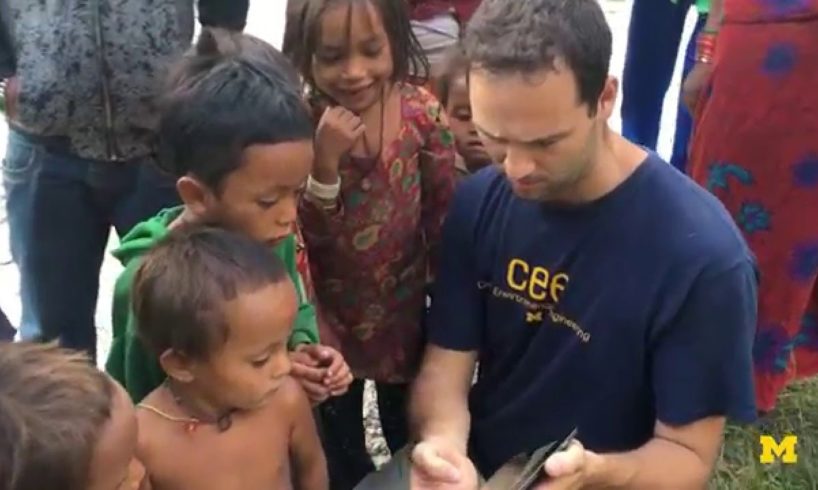
Typically surveying natural disasters like earthquakes, floods, and landslides involves putting boots on the ground and using tools like measuring tape or GPS to take stock of how the area has been affected. As you might imagine this takes a significant amount of time, is potentially dangerous, and costs a lot to pursue. Michigan engineers believe they have a method that can forego all of the cumbersome steps it has taken up to this point to measure disasters by utilizing the high resolution images that can be captured by drone technology. Using consumer level drones and taking photos and video with a high level of overlap, the researchers have been able to recreate 3D models of various disasters and make any measurements they would formerly do in the field on a computer in 3D space. By using this method, Michigan engineers believe that they can cut a lot of the time and uncertainty associated with measuring disasters out of the equation and more effectively make measurements that influence how we design infrastructure.
ABOUT THE PROFESSOR:
Dimitrios Zekkos is an Associate Professor in the Department of Civil and Environmental Engineering at the University of Michigan. His research interests lie in In-Situ and Laboratory Testing of Static and Dynamic Properties of Earth Materials, Geotechnical Characterization Of Non-Textbook Soils, and Impact of Ground Motion Modification on Seismic Geotechical and Structural Analyses among others.
source